Back

Distance
130 Km


 13°C
Mon
23/11

16° /9°
 45%
Tue
24/11

12° /11°
65%
Wed
25/11

14° /9°
38%
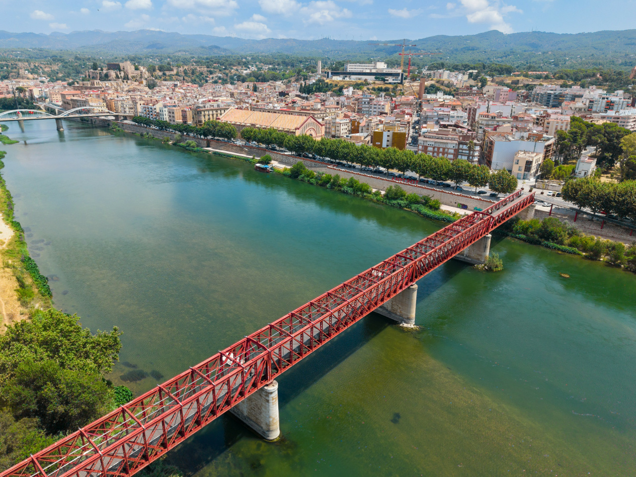
A route along the Val de Safan Greenway from Alcañiz to la Ràpita, passing through Tortosa, Vinallop and Amposta. A unique journey through mountains, river landscapes, farmland and the Ebro Delta.
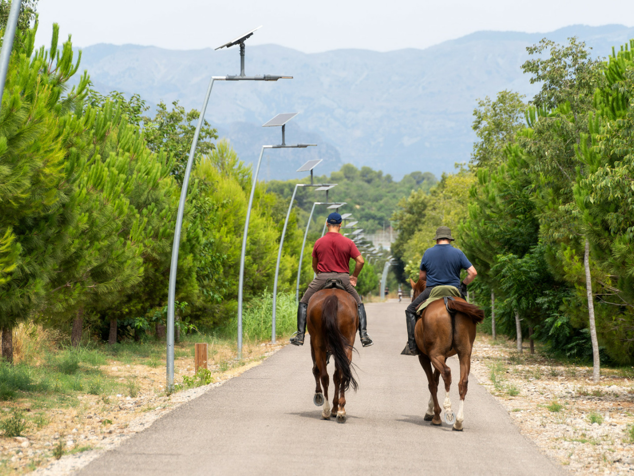
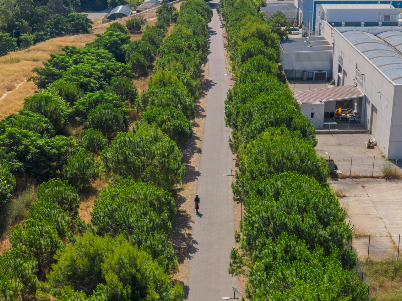
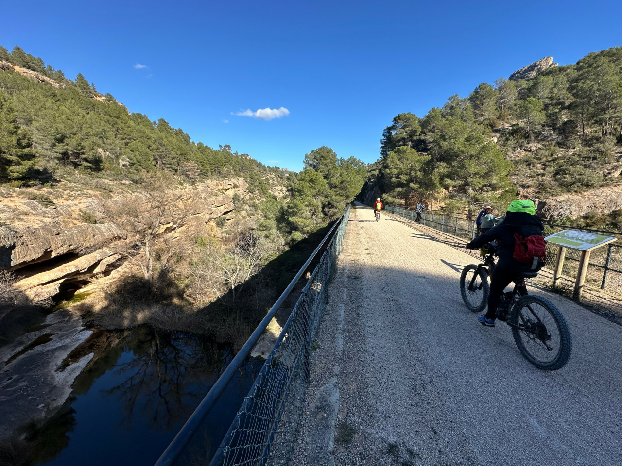
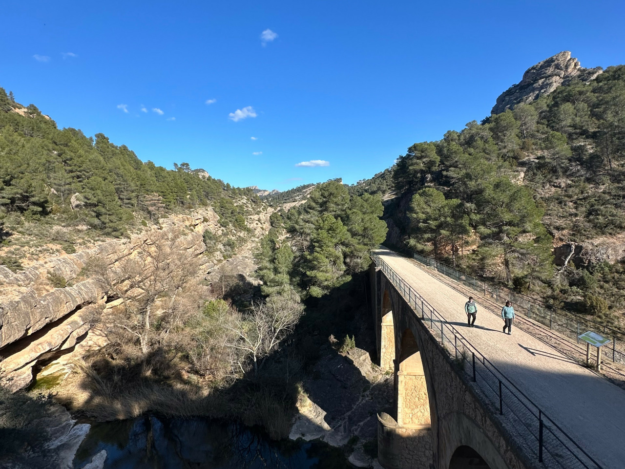
This route follows the Val de Safan Greenway from Alcañiz all the way to the Mediterranean Sea, offering a long and varied journey through some of the most characteristic landscapes of the Terres de l’Ebre.
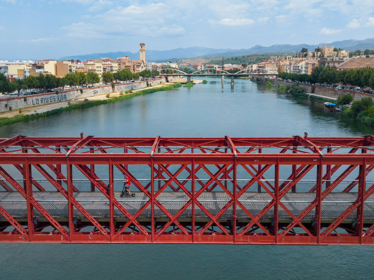
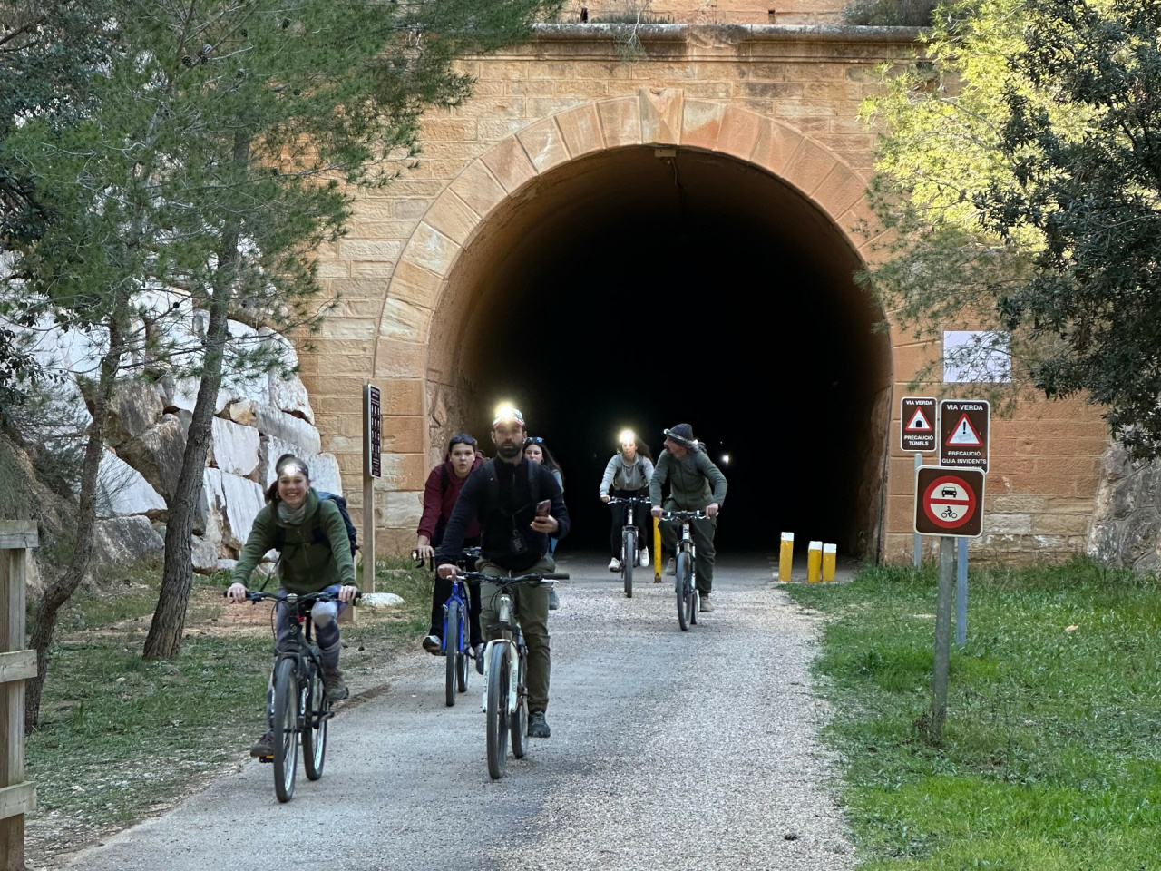
From the inland area, the route follows the former railway line through mountains, tunnels, viaducts and rural landscapes until reaching Tortosa, one of the key points along the journey. From here, the new section continues through Vinallop, Amposta and la Ràpita, gradually entering the wide, flat landscapes of the Ebro Delta.
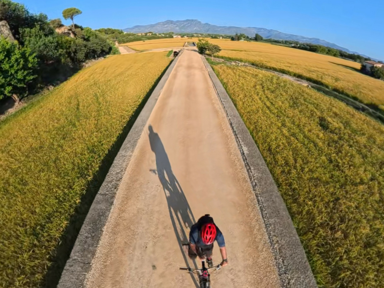
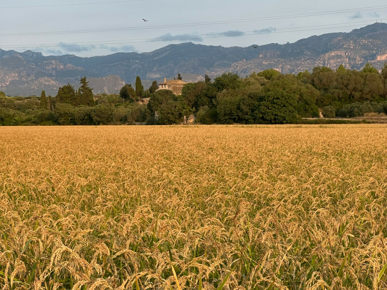
The route offers a constant contrast between mountains, river valley, farmland, the River Ebro and the Mediterranean coast. As the journey continues southwards, the scenery changes completely, revealing a remarkable variety of landscapes in a single ride.
At approximately 130 km with 710 metres of elevation gain, this is a long-distance cycling route ideal for discovering the region at a relaxed pace, from the inland landscapes to the Mediterranean.
13°CMon
23/11
16° /9°
45%
Tue
24/11
12° /11°
65%
Wed
25/11
14° /9°
38%